-
E-mail
szpj0077@163.com
-
Phone
15915477343
-
Address
Room 603, Building A, Hengyang Zhengsheng, Oumi Building, No. 228 Jihua Road, Buji Street, Longgang District, Shenzhen
Product Categories
Shenzhen Yingfeiming Technology Co., Ltd

Zenith L3 Long Range Lidar New Flagship
NegotiableUpdate on 01/14
- Model
- Nature of the Manufacturer
- Producers
- Product Category
- Place of Origin
Overview
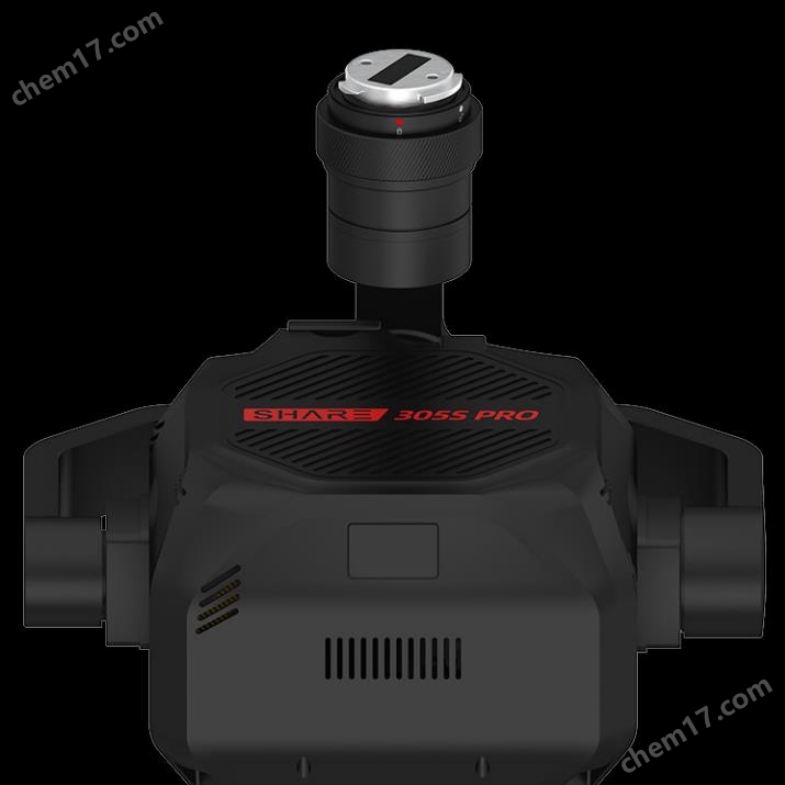
The new flagship of Zenith L3 long-range LiDAR integrates 1535 nanometer long-range LiDAR, dual 100 million pixel visible light cameras, high-precision pose system, and three-axis gimbal, bringing significant performance improvement in a small size.
Product Details
Zenith L3 Long Range Lidar New Flagship
Zenith L3 Long Range Lidar New FlagshipIntegrating 1535 nanometer long-range LiDAR, dual 100 megapixel visible light cameras, high-precision pose system, and three-axis gimbal, it brings significant performance improvement in a small volume.Equipped with a long-range LiDAR, the maximum range can reach 950 meters at a reflectivity of 10%. Combined with a dual 100 megapixel visible light camera and a high-precision pose system, Zenith L3 brings more efficient 3D data acquisition, with a daily operating area of up to 100 square kilometers.
New upgrade of Pilot 2
Multi split screen
Function Introduction:
Users can display from the APP endPoint cloud+visible light、Point cloud+auxiliary image、Visible light+auxiliary imageThree split screen schemes
Value point:
Add auxiliary images to makeFlying is safer

Real time point cloud measurement
Function Introduction:
·Real time point cloud supportPoint, line, and surface measurement
·Real time point cloud supports importingSikong 2 platform
Value point:
In emergency scenarios, it is possible to quickly measure and obtain on-site information.
Imitation line
Function Introduction:
1. Larger field of view, achieving80°x80°Small light spot, longer measuring range, and more stable identification of wires;
2. Support for transmission lines10 to 130 meters imitation line heightRecommended for use50 to 80 meters;
3. Distribution line support10 to 50 metersImitation line height, recommended for use30 to 50 meters
Value point:
·Can identify a larger range of power lines at the same height
·No need to detour or cross, higher work efficiency
·No heading calibration is required during simulated flight
·Distribution network simulation operation is safer
laser ranging
Function Introduction:
Real time measurement of the distance between the central object during the homework process
Value point:
It can reach up to 900 meters (the previous generation was 500 meters), helping users to travel quicklyRapid positioning of the distance between the aircraft and the target object

Recommended radar parameter configuration
Function Introduction:
According to the set flight altitudeRecommend suitable radar spot frequencies
Value point:
The parameter options are simple and easy to understand, making it easier for beginners to get started.
Radar result estimation
Function Introduction:
Based on the configured radar parameters, the flight related parameters output radar ground effect estimation, includingHorizontal profile density and median density of the flight pathEstimation effect diagram of point cloud at the edge of the heart point cloud and navigation belt
Value point:
Once the planning is completed, the results will be displayed, and users can be informed of the distribution of point clouds before flight operations, helping them better evaluate the effectiveness of point clouds

Want to learn more aboutZenith L3 Long Range Lidar New Flagship, please contact customer service.
Similar Product Recommend