-
E-mail
szpj0077@163.com
-
Phone
15915477343
-
Address
Room 603, Building A, Hengyang Zhengsheng, Oumi Building, No. 228 Jihua Road, Buji Street, Longgang District, Shenzhen
Product Categories
Shenzhen Yingfeiming Technology Co., Ltd

DJI's new Zenith L3 airborne high-precision aerial survey LiDAR camera
NegotiableUpdate on 01/14
- Model
- Nature of the Manufacturer
- Producers
- Product Category
- Place of Origin
Overview
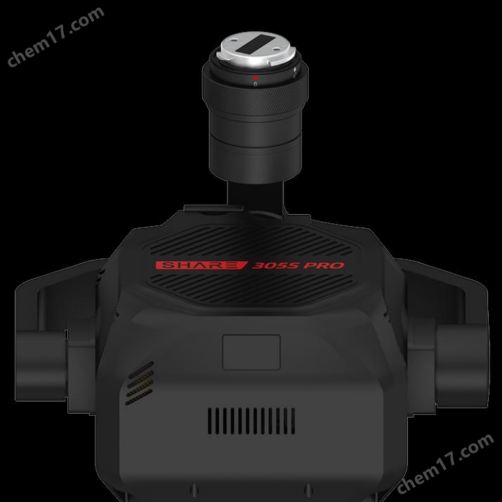
DJI's new Zenith L3 airborne high-precision aerial survey LiDAR camera is equipped with a long-range LiDAR, which can reach a maximum range of 950 meters at a reflectivity of 10%. Combined with a dual 100 megapixel visible light camera and a high-precision pose system, Zenith L3 brings more efficient 3D data acquisition, with a daily operating area of up to 100 square kilometers.
Product Details
DJI's new Zenith L3 airborne high-precision aerial survey LiDAR camera
DJI's new Zenith L3 airborne high-precision aerial survey LiDAR camera,Equipped with a long-range LiDAR, the maximum range can reach 950 meters at a reflectivity of 10%. Combined with a dual 100 megapixel visible light camera and a high-precision pose system, Zenith L3 brings more efficient 3D data acquisition, with a daily operating area of up to 100 square kilometers.

Adaptation platform
Supported models: Only compatible with Jingwei M400
New gimbal bracket (standard): blind installation/self alignment, disassembly anti drop
Weight: 1.6kg Protection level: Main body IP54
Storage: Comes with 2 CFe cards (1T) as a gift
performance improvement
◆300 to 500 metersOperating altitude, matching typical multi rotor flight altitude
◆Point frequency adjustableTransmission power, more flexible selection
100KHZ has strong energy, long range, and strong penetrability
350KHZ long range, high point cloud density, strong penetrability
value point
◆ Improve homework height, enhance homework efficiency and safety
◆ Reduce homework height and improve point cloud density and penetration
◆ Adapt to more terrains and work scenarios


Small spot, strong penetration
Performance improvement:
·L3 spot area is less than 1/5 of L2
Value point:
·More penetrative,More ground points under the forest
·Can beDistinguish smaller target objects(such as wires, towers), obtaining more detailed and complete models
scanning mode
Linear scanning, zigzag scanning, non repetitive scanning
Repeated scanning in the shape of a meter
Function improvement:
·Add repeated scanning of rice characters
Value point:
·Repeatedly scan one word,Scan more evenly and with higher accuracySatisfyHigh precision surveying and mapping requirements;
·Non repetitive scanning,Multiple emission anglesWith stronger penetration, cocoa can obtain morestructural informationSuitable for power inspection scenarios;
·New additionMi shapedRepeat scanning,Balancing penetration and accuracy, suitable for high canopy density forest areas or densely built areas, obtainMore ground point information.
100-2000kHz adjustable point frequency
Performance improvement:
·L3 100000Maximum energy per second, four pairshigherworking height
·Maximum point cloud sampling frequency of L32 million points per second, maximum support16 echoesAccurately depict geographical information.
Value point:
·Requirements for point cloud density and penetration in different scenariosAdjust point frequency, can be obtainedVery goodThe density of ground points.
high precision
Performance improvement:
·3 cm elevation, 4 cm plane (120 meters)
·5 cm elevation, 7.5 cm plane (300 meters)
·Point cloud thickness 2cm (300m orthorectified)
Value point:
1:500 accuracy data can be obtained at a height of 300 meters
At a height of 500 meters, 1:1000 accuracy data can be obtained
100 million pixel visible light module
Performance improvement:
·Double 100 millionpixel4/3CMOScamera
·Mechanical shutter, with a lifespan of up to500000 timesThe cost of homework has been further reduced.
Value point:
·100 million pixelsUsed inHigh altitude operationsHigh resolution guaranteeHomework accuracyAt a working height of 300 meters, GSD can still reach3cm/pix(Typical values, with curves in the manual)
·Support four pixel in one synthesis25 million pixelsSmall photo volume, short photo interval, large single pixel size, better sensitivity, suitable forLow flying sceneOr it may be necessaryPoint cloud coloringScenes with weak ambient lighting or low requirements for visible light resolution.
Dual visible light surveying camera
Performance improvement:
·Dual visible lightDesign of surveying cameras to increase the lateral FOV to107°, protectThe coverage of a single photo is wider
Value point:
·The most typical simultaneous requirement for terrain surveying isDOM和DEMThe field quantity is measured using laser beam in the lateral direction20% overlapIt can be done in one go to improve homework efficiency.
Want to learn more aboutDJI's new Zenith L3 airborne high-precision aerial survey LiDAR cameraPlease contact customer service.
Similar Product Recommend